
Rueter地形图
点击地图以显示海拔。
关于这张地图
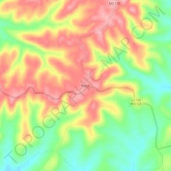
名称:Rueter地形图、海拔、地势。
地点:Rueter, Taney County, Missouri, 65744, United States (36.58840 -92.88906 36.62840 -92.84906)
平均海拔:345 米
最低海拔:278 米
最高海拔:406 米
其他地形图
点击地图以查看其地形、其海拔和其地势。
Branson
United States > Missouri > Taney County
Branson features a diverse and picturesque topography characterized by rolling hills, deep valleys, and abundant water features. Nestled in the Ozark Mountains, the area has an elevation that typically ranges around 778 feet (237 meters) above sea level. The region is shaped by its proximity to several lakes,…
平均海拔:275 米
Taneyville
United States > Missouri > Taney County
Taneyville is located in north-central Taney County. The town lies along Missouri Route 76 between Bradleyville and Kissee Mills. The townsite is on a northeast–southwest trending ridge between Swan Creek to the northwest and Beaver Creek to the southeast. The site is at an elevation of 1,073 ft (327 m).
平均海拔:312 米