
Hollylake Estates地形图
点击地图以显示海拔。
关于这张地图
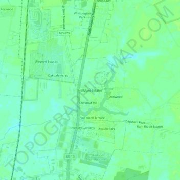
名称:Hollylake Estates地形图、海拔、地势。
平均海拔:15 米
最低海拔:9 米
最高海拔:18 米
其他地形图
点击地图以查看其地形、其海拔和其地势。
Salisbury
United States > Maryland > Wicomico County
According to the United States Census Bureau, the city has a total area of 13.87 square miles (35.92 km2), of which 13.40 square miles (34.71 km2) is land and 0.47 square miles (1.22 km2) is water. The city has a varying elevation of 17 to 45 feet (5.2 to 13.7 m) above sea level.
平均海拔:12 米