点击地图以显示海拔。
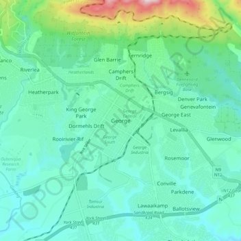
名称:George地形图、海拔、地势。
地点:George, George Local Municipality, Garden Route District Municipality, Western Cape, 6530, South Africa (-34.00444 22.41972 -33.92444 22.49972)
平均海拔:244 米
最低海拔:138 米
最高海拔:675 米
点击地图以查看其地形、其海拔和其地势。
South Africa > Western Cape > Garden Route District Municipality > George Local Municipality
平均海拔:342 米
平均海拔:201 米