点击地图以显示海拔。
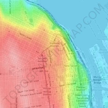
名称:Wright Park地形图、海拔、地势。
地点:Wright Park, Tacoma, Pierce County, Washington, United States (47.25745 -122.45115 47.26342 -122.44711)
平均海拔:57 米
最低海拔:-3 米
最高海拔:121 米
点击地图以查看其地形、其海拔和其地势。
United States > Washington > Pierce County > Tacoma
平均海拔:114 米
平均海拔:47 米
平均海拔:82 米
平均海拔:26 米
平均海拔:58 米