
Ujung Pandang地形图
点击地图以显示海拔。
关于这张地图
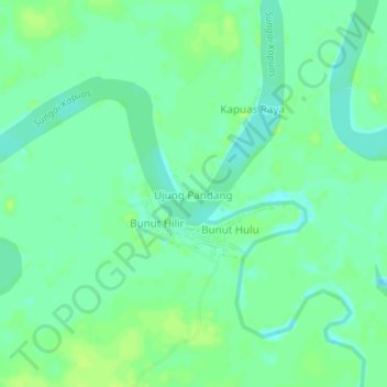
名称:Ujung Pandang地形图、海拔、地势。
平均海拔:26 米
最低海拔:19 米
最高海拔:31 米
其他地形图
点击地图以查看其地形、其海拔和其地势。
Badau
Indonesia > West Kalimantan > Kapuas Hulu
This district generally has a mountainous and hilly topography, with dense tropical forests. The climate conditions in Badau are generally tropical with quite high rainfall throughout the year, which supports the lush forest vegetation in the area. This district is crossed by several rivers including the Badau…
平均海拔:61 米