
Horseshoe Falls地形图
点击地图以显示海拔。
关于这张地图
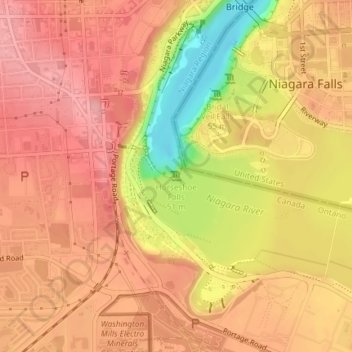
名称:Horseshoe Falls地形图、海拔、地势。
平均海拔:174 米
最低海拔:97 米
最高海拔:209 米
其他地形图
点击地图以查看其地形、其海拔和其地势。
Niagara River
Canada > Ontario > Niagara Region > Niagara Falls
The river, which is occasionally described as a strait, is about 58 kilometres (36 mi) long and includes Niagara Falls in its course. The falls have moved approximately 11 kilometres (6.8 mi) upstream from the Niagara Escarpment in the last 12,000 years, resulting in a gorge below the falls. Today, the…
平均海拔:177 米