点击地图以显示海拔。
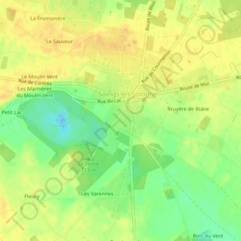
名称:Le Parc地形图、海拔、地势。
地点:Le Parc, Les Prés Montoux, Soings-en-Sologne, Romorantin-Lanthenay, Loir-et-Cher, Centre-Val de Loire, France métropolitaine, 41230, France (47.40905 1.52216 47.41098 1.52439)
平均海拔:110 米
最低海拔:92 米
最高海拔:120 米