点击地图以显示海拔。
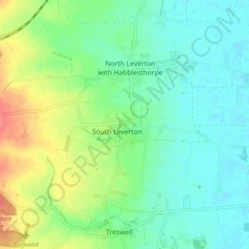
名称:South Leverton地形图、海拔、地势。
地点:South Leverton, Bassetlaw, Nottinghamshire, England, DN22 0FB, United Kingdom (53.30141 -0.84378 53.34141 -0.80378)
平均海拔:22 米
最低海拔:3 米
最高海拔:63 米