点击地图以显示海拔。
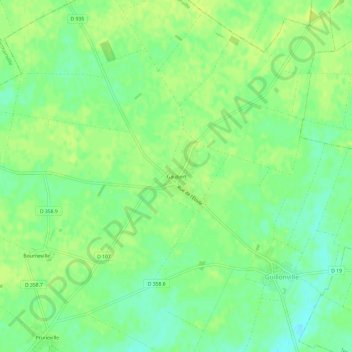
名称:Gaubert地形图、海拔、地势。
地点:Gaubert, Guillonville, Châteaudun, Eure-et-Loir, Centre-Val de Loire, France métropolitaine, 28140, France (48.08149 1.62613 48.12149 1.66613)
平均海拔:134 米
最低海拔:125 米
最高海拔:139 米