Windermere地形图
点击地图以显示海拔。
关于这张地图
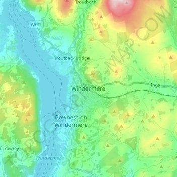
名称:Windermere地形图、海拔、地势。
平均海拔:147 米
最低海拔:35 米
最高海拔:465 米
其他地形图
点击地图以查看其地形、其海拔和其地势。
Wharton Tarn
United Kingdom > England > Westmorland and Furness > Hawkshead > Hawkshead Hill
平均海拔:173 米

点击地图以显示海拔。
名称:Windermere地形图、海拔、地势。
平均海拔:147 米
最低海拔:35 米
最高海拔:465 米
点击地图以查看其地形、其海拔和其地势。
United Kingdom > England > Westmorland and Furness > Hawkshead > Hawkshead Hill
平均海拔:173 米