点击地图以显示海拔。
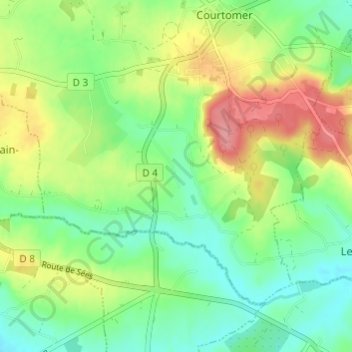
名称:L'Osier地形图、海拔、地势。
地点:L'Osier, Courtomer, Alençon, Orne, Normandie, France métropolitaine, 61390, France (48.58935 0.32808 48.62935 0.36808)
平均海拔:201 米
最低海拔:167 米
最高海拔:255 米
点击地图以查看其地形、其海拔和其地势。
France > Normandie > Orne > Courtomer > Le Vieux Courtomer
平均海拔:218 米