点击地图以显示海拔。
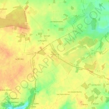
名称:Montgarny地形图、海拔、地势。
地点:Montgarny, Obterre, Le Blanc, Indre, Centre-Val de Loire, France métropolitaine, 36290, France (46.92145 1.02775 46.96145 1.06775)
平均海拔:136 米
最低海拔:109 米
最高海拔:151 米