
Omarama地形图
点击地图以显示海拔。
关于这张地图
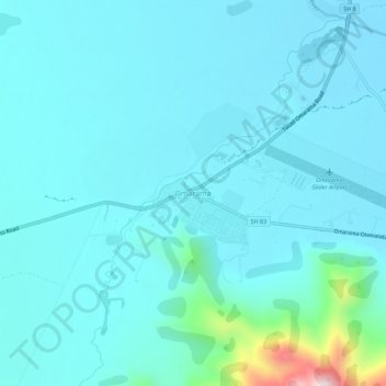
名称:Omarama地形图、海拔、地势。
地点:Omarama, Waitaki District, Canterbury, New Zealand (-44.50788 169.94560 -44.46788 169.98560)
平均海拔:460 米
最低海拔:405 米
最高海拔:912 米
其他地形图
点击地图以查看其地形、其海拔和其地势。
Lake Ōhau
New Zealand > Canterbury > Waitaki District
Wilding Pines (Pinus Cortorta, Pinus sylvestris) are problematic on the foreshore of Lake Ōhau. Pinus contorta grow “probably five to 10 times faster” in the Mackenzie Country (and Lake Ōhau) than in their native North America. They can establish themselves at altitudes of up to 2000 metres. Where they…
平均海拔:904 米