点击地图以显示海拔。
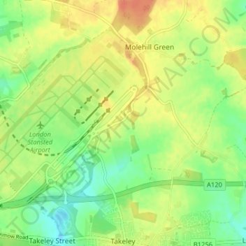
名称:Mill End地形图、海拔、地势。
地点:Mill End, Takeley, Molehill Green, Uttlesford, Essex, England, CM22 6PL, United Kingdom (51.86730 0.24614 51.90730 0.28614)
平均海拔:101 米
最低海拔:81 米
最高海拔:121 米