点击地图以显示海拔。
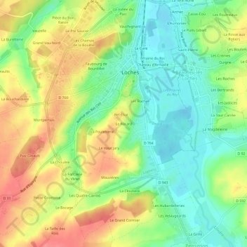
名称:Le Rocard地形图、海拔、地势。
地点:Le Rocard, Loches, Indre-et-Loire, Centre-Val de Loire, France métropolitaine, 37600, France (47.09986 0.97642 47.13986 1.01642)
平均海拔:97 米
最低海拔:65 米
最高海拔:136 米