
Broadmoor地形图
点击地图以显示海拔。
关于这张地图
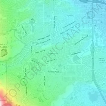
名称:Broadmoor地形图、海拔、地势。
平均海拔:1,884 米
最低海拔:1,797 米
最高海拔:2,241 米
其他地形图
点击地图以查看其地形、其海拔和其地势。
Cheyenne Mountain State Park
United States > Colorado > El Paso County > Colorado Springs
平均海拔:2,142 米
Air Force Academy
United States > Colorado > El Paso County > Colorado Springs
The campus of the academy covers 18,455 acres (29 sq mi; 75 km2) on the east side of the Rampart Range of the Rocky Mountains, just north of Colorado Springs. Its elevation is normally given as 7,258 feet (2,212 m) above sea level, which is at the cadet area. The academy was designed by Skidmore, Owings and…
平均海拔:2,158 米