
Cape Fold Mountains地形图
点击地图以显示海拔。
Cape Fold Mountains
The degree to which the original Cape Fold mountains (formed during the Carboniferous and early Permian Periods) have been eroded is attested to by the fact that the 1 km high Table Mountain on the Cape Peninsula is a syncline mountain, meaning that it formed part of the bottom of a valley when the Cape Supergroup was initially folded. The anticline, or highest elevation of the fold between Table Mountain and the Hottentots-Holland Mountains (1.2 to 1.6 km elevation), on the opposite side of the isthmus connecting the Peninsula to the Mainland, has been eroded away. The Malmesbury shale and granite basement on which this anticline mountain rested also formed an anticline; but being composed of much softer rocks, readily eroded into a 50 km wide flat plain, (now covered with dune sands) called the "Cape Flats".
关于这张地图
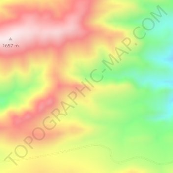
名称:Cape Fold Mountains地形图、海拔、地势。
平均海拔:1,419 米
最低海拔:1,136 米
最高海拔:1,667 米
其他地形图
点击地图以查看其地形、其海拔和其地势。