点击地图以显示海拔。
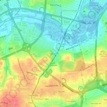
名称:Acer Lane地形图、海拔、地势。
地点:Acer Lane, Glen Burnie, Anne Arundel County, Maryland, 21090, United States (39.19704 -76.66550 39.23704 -76.62550)
平均海拔:27 米
最低海拔:-3 米
最高海拔:66 米
点击地图以查看其地形、其海拔和其地势。
United States > Maryland > Anne Arundel County > Glen Burnie
平均海拔:24 米