
Shishaldin Volcano地形图
点击地图以显示海拔。
Shishaldin Volcano
Shishaldin is located on Unimak Island, the easternmost of the Aleutian Islands. The nearest settlement to the volcano is False Pass (population ~100) at 45 km away. The view of Shishaldin from False Pass is obscured by the Round Top and Isanotski volcanoes, preventing direct observations of eruptions in many instances. The upper 6,600 ft (2,000 m) is almost entirely covered by glacial snow and ice. In all, Shishaldin's glacial shield covers about 35 sq mi (91 km2). The Shishaldin cone is less than 10,000 years old and is constructed atop the remnants of the ancestral volcano. The modern cone is highly symmetrical, with near-perfect circular topographic contours above 6,500 ft (2,000 m), except for the newly formed (from the 2023 eruption) collapses near the summit. The Shishaldin edifice contains about 300 km3 (72 cu mi) of material. A very steady steam plume rises from its small summit crater which is about 500 ft (150 m) across and slightly breached along the north rim. The ancestral cone is exposed on the west and northeast sides of the volcano between 1,500 and 1,800 m elevation and hosts rougher topography than the modern cone. The west and northwest sides of the volcano are home to over 50 flank vents. These flank vents consist mostly of cinder cones with some maars and tuff cones; most vents produced explosive eruptions, however some cinder cones are associated with lava flows from effusive eruptions. In appearance, the volcano can vary from nearly completely white to almost all black, depending on the occurrence of ashfall deposits.
关于这张地图
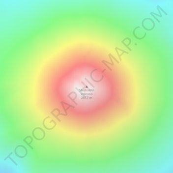
名称:Shishaldin Volcano地形图、海拔、地势。
平均海拔:2,134 米
最低海拔:1,626 米
最高海拔:2,845 米
其他地形图
点击地图以查看其地形、其海拔和其地势。