
Rockingham地形图
点击地图以显示海拔。
Rockingham
Rockingham is topographically flat, has sandy soils and coastal vegetation. It has a northern aspect to Cockburn Sound, from Rockingham Beach and Palm Beach.
关于这张地图
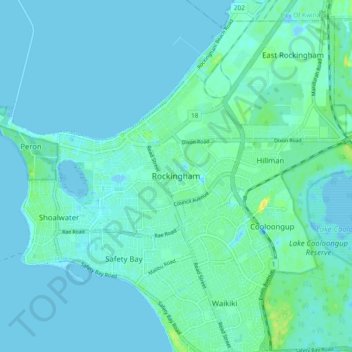
名称:Rockingham地形图、海拔、地势。
地点:Rockingham, Western Australia, 6168, Australia (-32.32519 115.70265 -32.24519 115.78265)
平均海拔:4 米
最低海拔:-4 米
最高海拔:20 米
其他地形图
点击地图以查看其地形、其海拔和其地势。