点击地图以显示海拔。
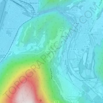
名称:Saint-Sauveur地形图、海拔、地势。
地点:Saint-Sauveur, Notre-Dame-de-Mésage, Grenoble, Isère, Auvergne-Rhône-Alpes, France métropolitaine, 38220, France (45.04866 5.73241 45.08866 5.77241)
平均海拔:444 米
最低海拔:261 米
最高海拔:1,299 米