点击地图以显示海拔。
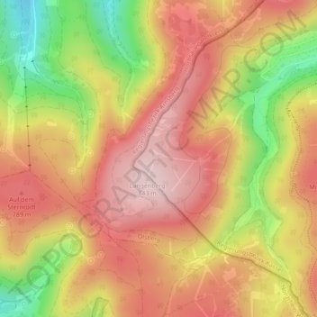
名称:Rothaargebirge地形图、海拔、地势。
地点:Rothaargebirge, Willingen, Willingen (Upland), Landkreis Waldeck-Frankenberg, Hessen, Deutschland (51.27795 8.55995 51.27805 8.56005)
平均海拔:727 米
最低海拔:551 米
最高海拔:842 米