
Upset地形图
点击地图以显示海拔。
关于这张地图
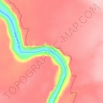
名称:Upset地形图、海拔、地势。
地点:Upset, Malheur County, Oregon, United States (42.94988 -117.70641 42.94998 -117.70631)
平均海拔:1,128 米
最低海拔:989 米
最高海拔:1,171 米
其他地形图
点击地图以查看其地形、其海拔和其地势。
Vale
United States > Oregon > Malheur County
According to the United States Census Bureau, the city has a total area of 1.14 square miles (2.95 km2), all of it land. The city has an elevation of 2,244 feet (684 m) above sea level.
平均海拔:710 米