
Pembroke Range地形图
点击地图以显示海拔。
关于这张地图
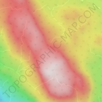
名称:Pembroke Range地形图、海拔、地势。
平均海拔:633 米
最低海拔:147 米
最高海拔:912 米
其他地形图
点击地图以查看其地形、其海拔和其地势。
Bute Inlet
Canada > British Columbia > Strathcona Regional District > Area B (Discovery Islands/Mainland Inlets)
The Bute Inlet route was later considered for the mainline of the Canadian Pacific Railway (CPR), which would have seen extensive blasting down the west shore of the inlet and a series of bridges to reach Vancouver Island near Campbell River via Seymour Narrows. This route was passed over in favour of the…
平均海拔:921 米