
Wileyville地形图
点击地图以显示海拔。
关于这张地图
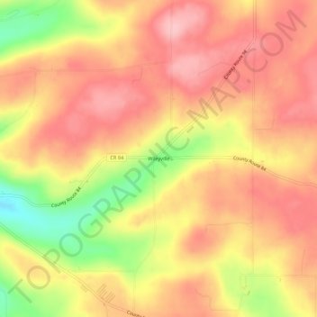
名称:Wileyville地形图、海拔、地势。
平均海拔:673 米
最低海拔:577 米
最高海拔:725 米
其他地形图
点击地图以查看其地形、其海拔和其地势。
Town of Prattsburgh
United States > New York > Steuben County
The town is at a higher altitude than most other parts of the county.
平均海拔:517 米
Village of Hammondsport
United States > New York > Steuben County
Beginning in 1894 Hammondsport received its first water system from springs that were contained in the Rufus Scofield farm, on Mt. Washington, not far from the village. Aside from supplying the village with pure spring water, one of the first objectives was to install five fire hydrants at convenient locations…
平均海拔:288 米
Coopers Plains
United States > New York > Steuben County > Town of Campbell > Coopers Plains
平均海拔:348 米
City of Hornell
United States > New York > Steuben County
Hornell is located at 42°19′N 77°40′W / 42.317°N 77.667°W / 42.317; -77.667 (42.3244, -77.6603). Hornell is at an altitude of 1,160 feet (350 meters) above sea level.
平均海拔:461 米