
Gurla Mandhata地形图
点击地图以显示海拔。
Gurla Mandhata
In 1905, T. G. Longstaff made an attempt on the west face of Gurla Mandhata with two alpine guides and six porters. After suffering a 900 feet (270 m) fall during an avalanche, they turned back around 7,000 m (23,000 ft) upon finding fresh snow was falling too heavily to reach the summit with their provisions. This was a strong achievement for the time, especially for such a small group; at that time no summit of over 7,000 m had yet been climbed and Longstaff's height represented a world altitude record.
关于这张地图
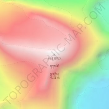
名称:Gurla Mandhata地形图、海拔、地势。
平均海拔:6,913 米
最低海拔:5,852 米
最高海拔:7,676 米