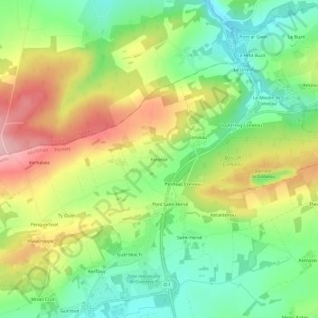
点击地图以显示海拔。
名称:Kerenor地形图、海拔、地势。
地点:Kerenor, Gourin, Pontivy, Morbihan, Bretagne, France métropolitaine, 56110, France (48.15356 -3.60028 48.19356 -3.56028)
平均海拔:203 米
最低海拔:129 米
最高海拔:304 米