
Homewood地形图
点击地图以显示海拔。
Homewood
Homewood was located on the Atchison, Topeka and Santa Fe Railway at altitude 1,039 feet (317 m) above sea level. In 1900, it contained a population of about 100 inhabitants. Around this time, a number of stores operated out of the community, and it also had its own school. It was the supply and shipping point for the surrounding rural area.
关于这张地图
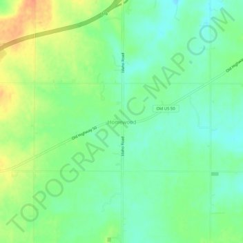
名称:Homewood地形图、海拔、地势。
地点:Homewood, Franklin County, Kansas, United States (38.49474 -95.39887 38.53474 -95.35887)
平均海拔:320 米
最低海拔:302 米
最高海拔:347 米
其他地形图
点击地图以查看其地形、其海拔和其地势。