
L'Ecottay地形图
点击地图以显示海拔。
关于这张地图
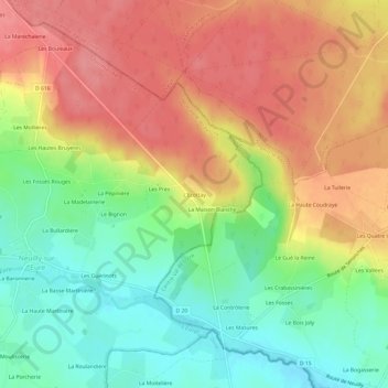
名称:L'Ecottay地形图、海拔、地势。
平均海拔:248 米
最低海拔:204 米
最高海拔:289 米
其他地形图
点击地图以查看其地形、其海拔和其地势。
Monceaux-au-Perche
France > Normandie > Orne > Longny les Villages
La superficie de Monceaux-au-Perche est de 3,15 km2 ; son altitude varie de 137 à 227 mètres.
平均海拔:198 米