Jaithra地形图
点击地图以显示海拔。
关于这张地图
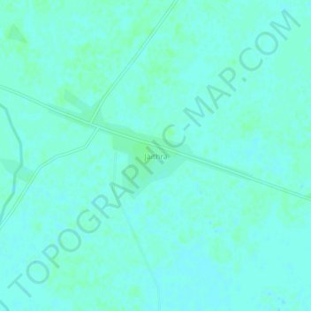
名称:Jaithra地形图、海拔、地势。
地点:Jaithra, Aliganj, Etah District, Uttar Pradesh, 207249, India (27.49053 79.00093 27.53053 79.04093)
平均海拔:162 米
最低海拔:159 米
最高海拔:164 米

点击地图以显示海拔。
名称:Jaithra地形图、海拔、地势。
地点:Jaithra, Aliganj, Etah District, Uttar Pradesh, 207249, India (27.49053 79.00093 27.53053 79.04093)
平均海拔:162 米
最低海拔:159 米
最高海拔:164 米