点击地图以显示海拔。
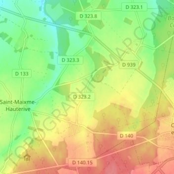
名称:Le Gland地形图、海拔、地势。
地点:Le Gland, Saint-Maixme-Hauterive, Dreux, Eure-et-Loir, Centre-Val de Loire, France métropolitaine, 28170, France (48.57274 1.18582 48.61274 1.22582)
平均海拔:199 米
最低海拔:167 米
最高海拔:230 米