
Kheda地形图
点击地图以显示海拔。
Kheda
Kheda is located at 22°45′N 72°41′E / 22.75°N 72.68°E / 22.75; 72.68. It has an average elevation of 21 metres (68 feet). Kheda is on the banks of Vatrak and Shedhi rivers.
关于这张地图
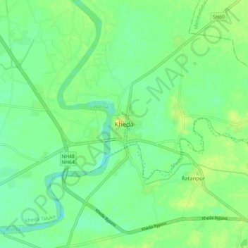
名称:Kheda地形图、海拔、地势。
地点:Kheda, Kheda Taluka, Kheda, Gujarat, 387400, India (22.71161 72.64572 22.79161 72.72572)
平均海拔:27 米
最低海拔:18 米
最高海拔:37 米