
Kanlaon地形图
点击地图以显示海拔。
Kanlaon
Kanlaon, also known as Mount Kanlaon and Kanlaon Volcano (Hiligaynon: Bolkang Kanglaon; Cebuano: Bolkang Kanglaon; Filipino: Bulkang Kanlaon), is an active andesitic stratovolcano and the highest mountain on the island of Negros in the Philippines, as well as the highest peak in the Visayas, with an elevation of 2,465 m (8,087 ft) above sea level. Mount Kanlaon ranks as the 42nd-highest peak of an island in the world.
关于这张地图
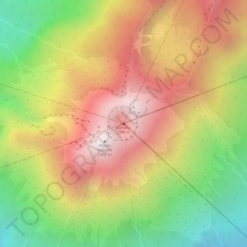
名称:Kanlaon地形图、海拔、地势。
平均海拔:1,959 米
最低海拔:1,391 米
最高海拔:2,430 米