点击地图以显示海拔。
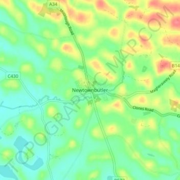
名称:Newtownbutler地形图、海拔、地势。
地点:Newtownbutler, County Fermanagh, Northern Ireland, BT92 8JW, United Kingdom (54.16249 -7.38108 54.20249 -7.34108)
平均海拔:63 米
最低海拔:40 米
最高海拔:100 米
点击地图以查看其地形、其海拔和其地势。
United Kingdom > Northern Ireland > County Fermanagh
平均海拔:60 米
平均海拔:232 米
平均海拔:48 米