
Sassafras Mountain地形图
点击地图以显示海拔。
Sassafras Mountain
The Pisgah Quadrangle topographical map, revised 1904–1905, shows the long abandoned Sassafras Gap Road to be the preferred route through to Rosman, N.C. and Brevard, N.C. at the end of the 19th century and that the existing Highway 178 was then a secondary road. This abandoned road is a short distance from the summit and is crossed by the hiking trail to Caesars Head from Sassafras summit. Most people crossing this old roadbed in Sassafras Gap don't recognize it as a road, but it is easily recognized because of the short section of steps going down into the roadbed, and a similar section of short steps on the opposite side of the roadbed going up and the trail then continuing steeply up toward Caesars Head. A short hike South down the old Sassafras Gap Road will take you to Hickory Head Spring, the headwater of the South Saluda River. Hickory Head Spring is shown as a feature on the Mill's Atlas, 1825, Greenville District, South Carolina.
关于这张地图
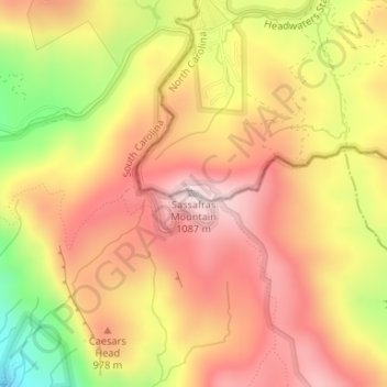
名称:Sassafras Mountain地形图、海拔、地势。
平均海拔:895 米
最低海拔:624 米
最高海拔:1,071 米
其他地形图
点击地图以查看其地形、其海拔和其地势。