点击地图以显示海拔。
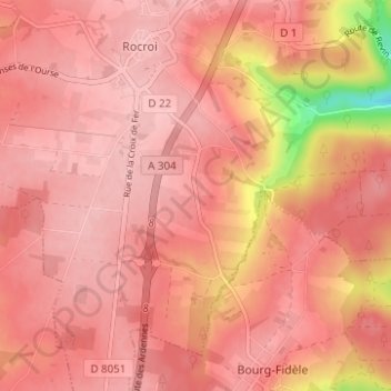
名称:Le Grand Hongreaux地形图、海拔、地势。
地点:Le Grand Hongreaux, Rocroi, Charleville-Mézières, Ardennes, Grand Est, France métropolitaine, 08230, France (49.88977 4.50929 49.92977 4.54929)
平均海拔:362 米
最低海拔:256 米
最高海拔:389 米