点击地图以显示海拔。
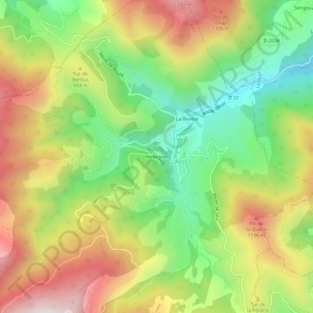
名称:Perteguet地形图、海拔、地势。
地点:Perteguet, Alos, Saint-Girons, Ariège, Occitanie, France métropolitaine, 09200, France (42.88794 1.11956 42.92794 1.15956)
平均海拔:873 米
最低海拔:520 米
最高海拔:1,289 米