
Cofre de Perote地形图
点击地图以显示海拔。
Cofre de Perote
Cofre de Perote, also known by its Nahuatl names Naupa-Tecutépetl (from Nāuhpa-Tēuctēpetl) and Nauhcampatépetl, both meaning something like "Place of Four Mountains" or "Mountain of the Lord of Four Places", is an inactive volcano located in the Mexican state of Veracruz, at the point where the Trans-Mexican Volcanic Belt, home to all of Mexico's highest peaks, joins the Sierra Madre Oriental. With an elevation of 4,282 metres (14,049 ft) above sea level, Cofre de Perote is Mexico's eighth highest mountain summit.
关于这张地图
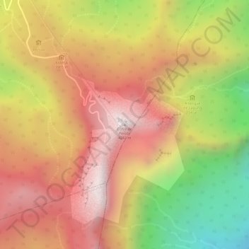
名称:Cofre de Perote地形图、海拔、地势。
地点:Cofre de Perote, Perote, Veracruz, Mexico (19.49414 -97.14787 19.49424 -97.14777)
平均海拔:3,817 米
最低海拔:3,253 米
最高海拔:4,186 米