
Birkwood地形图
点击地图以显示海拔。
关于这张地图
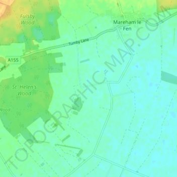
名称:Birkwood地形图、海拔、地势。
平均海拔:8 米
最低海拔:0 米
最高海拔:27 米
其他地形图
点击地图以查看其地形、其海拔和其地势。
Donington on Bain
United Kingdom > England > Lincolnshire > East Lindsey > Donington on Bain
平均海拔:107 米
Toynton All Saints
United Kingdom > England > Lincolnshire > East Lindsey > Toynton All Saints
平均海拔:18 米
Skegness
United Kingdom > England > Lincolnshire > East Lindsey
Skegness fronts the North Sea. It is located on a low-lying flat region called Lincoln Marsh, which runs along the coast between Skegness and the Humber and separates the coast from the upland Wolds. Much of the parish's elevation is close to sea level, although a narrow band along the seafront is 4–5 m…
平均海拔:2 米