点击地图以显示海拔。
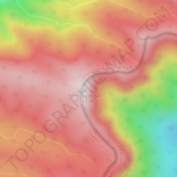
名称:Point Lookout地形图、海拔、地势。
地点:Point Lookout, McPherson Range Walking Track, Tyalgum Creek, Southern Lamington, Tweed Shire Council, New South Wales, 2484, Australia (-28.31981 153.12504 -28.31971 153.12514)
平均海拔:826 米
最低海拔:323 米
最高海拔:1,075 米