
Blencathra地形图
点击地图以显示海拔。
Blencathra
The Northern Fells make up a roughly circular upland area about 10 miles (16 km) wide. At the centre is the marshy depression of Skiddaw Forest — a treeless plateau at an altitude of 1,300 ft (400 m) — and flowing outward from here are the rivers which divide the area into three sectors. Between the Glenderaterra Beck and the River Caldew, the southeastern sector contains Blencathra and its satellites.
关于这张地图
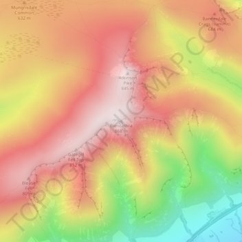
名称:Blencathra地形图、海拔、地势。
平均海拔:577 米
最低海拔:160 米
最高海拔:854 米
其他地形图
点击地图以查看其地形、其海拔和其地势。