
Sierra Blanca地形图
点击地图以显示海拔。
Sierra Blanca
Sierra Blanca is found in Far West Texas, a subdivision of West Texas, and is 4,520 feet (1,380 m) above sea level. The town is part of the Trans-Pecos region within the most mountainous and arid portion of Texas. The town is located in Hudspeth County, which is large and sparsely populated. Sierra Blanca (White Mountain), at an elevation of 6,892 feet (2,101 m) above sea level, towers over the town to the northwest and is the most prominent mountain peak of the surrounding mountainous terrain.
关于这张地图
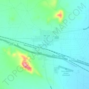
名称:Sierra Blanca地形图、海拔、地势。
平均海拔:1,391 米
最低海拔:1,355 米
最高海拔:1,542 米