
Smith Beach地形图
点击地图以显示海拔。
关于这张地图
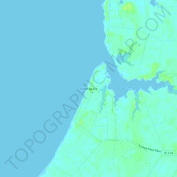
名称:Smith Beach地形图、海拔、地势。
平均海拔:2 米
最低海拔:-5 米
最高海拔:13 米
其他地形图
点击地图以查看其地形、其海拔和其地势。
Cape Charles
United States > Virginia > Northampton County
Cape Charles lies on a peninsula and is surrounded by water on three sides. The town is situated directly on the Chesapeake Bay, bordered by King's Creek to the north and Old Plantation Creek to the south. The land in town is low lying and relatively flat, with the highest point of elevation at 15 feet, and a…
平均海拔:2 米