点击地图以显示海拔。
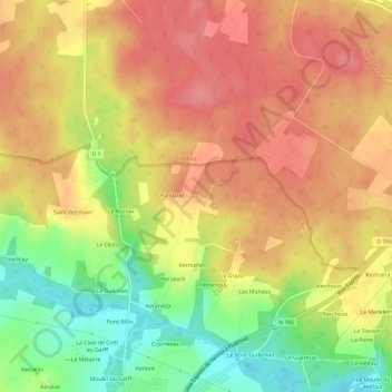
名称:Cornebot地形图、海拔、地势。
地点:Cornebot, Elven, Vannes, Morbihan, Bretagne, France métropolitaine, 56250, France (47.74209 -2.59386 47.78209 -2.55386)
平均海拔:87 米
最低海拔:36 米
最高海拔:121 米
点击地图以查看其地形、其海拔和其地势。
France > Bretagne > Morbihan > Elven > Kerhon
平均海拔:118 米