点击地图以显示海拔。
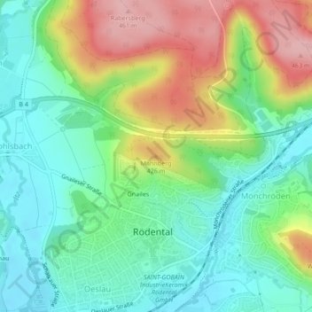
名称:Mahnberg地形图、海拔、地势。
地点:Mahnberg, Rödental, Landkreis Coburg, Bayern, 96472, Deutschland (50.30366 11.04320 50.30376 11.04330)
平均海拔:364 米
最低海拔:308 米
最高海拔:462 米