点击地图以显示海拔。
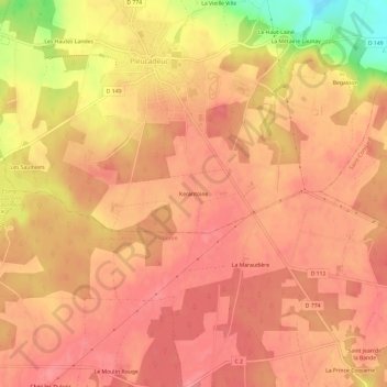
名称:Kerantoine地形图、海拔、地势。
地点:Kerantoine, Pleucadeuc, Vannes, Morbihan, Bretagne, France métropolitaine, 56140, France (47.72484 -2.38901 47.76484 -2.34901)
平均海拔:76 米
最低海拔:15 米
最高海拔:96 米