
Simpang Pelangai地形图
点击地图以显示海拔。
关于这张地图
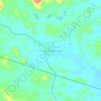
名称:Simpang Pelangai地形图、海拔、地势。
地点:Simpang Pelangai, Bentong, Pahang, Malaysia (3.15625 102.17510 3.19625 102.21510)
平均海拔:86 米
最低海拔:59 米
最高海拔:195 米
其他地形图
点击地图以查看其地形、其海拔和其地势。
Tioman Island
Local mythology claims that the island is the embodiment of the mighty dragon Sri Gumom. The dragon was on his way to visit his sister Gunung Linga (Lingin Peak). Still, the great Sri Rama forbade the meeting, and Sri Gumom was turned into a stone and fell into the deep sea where he now remains, frozen in…
平均海拔:104 米
Malaysia National Park
Taman Negara features a largely virgin, lowland dipterocarp rainforest as well as Peninsular Malaysian montane rain forests on the higher elevation parts of the park.
平均海拔:320 米