
Manang地形图
点击地图以显示海拔。
Manang
Manang (Nepali: मनाङ) is a town in the Manang District of Nepal. It is located at 28°40'0N 84°1'0E with an elevation of 3,519 metres (11,545 ft). According to the preliminary results of the 2011 Nepal census, the district has a population of 6,527 people living in 1,495 individual households. Its population density is 3 persons/km2.
关于这张地图
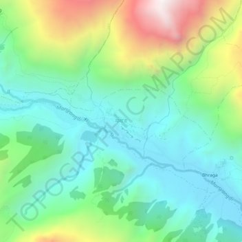
名称:Manang地形图、海拔、地势。
地点:Manang, Neshyang, Manang, Gandaki Province, Nepal (28.64611 84.00312 28.68611 84.04312)
平均海拔:3,855 米
最低海拔:3,456 米
最高海拔:4,781 米
其他地形图
点击地图以查看其地形、其海拔和其地势。