
Rathdangan地形图
点击地图以显示海拔。
Rathdangan
Evidence of habitation is shown by a Bronze Age burial cist, a fort dating from at least the eight-century and a Norman moat at Killamoat. A 1668 survey records 18 houses in the village. Due to its mountainous elevation, in the severe winters of 1947, 1963 and 1982, Rathdangan was isolated for weeks. In 1985 the town was caught up in the moving statues phenomena gripping Ireland when people claimed to see the Rathdangan Marian Year Virgin Mary statue move.
关于这张地图
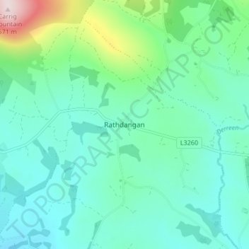
名称:Rathdangan地形图、海拔、地势。
平均海拔:228 米
最低海拔:141 米
最高海拔:570 米
其他地形图
点击地图以查看其地形、其海拔和其地势。
Baltinglass
A nineteenth-century explanation is found in Samuel Lewis' A Topographical Dictionary of Ireland, where he says that the name, "according to most antiquaries," comes from Baal-Tin-Glas, meaning the "pure fire of Baal," and that this suggests that the area was a centre for "druidical worship".
平均海拔:163 米