点击地图以显示海拔。
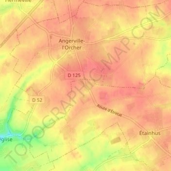
名称:Le Gal地形图、海拔、地势。
地点:Le Gal, Étainhus, Le Havre, Seine-Maritime, Normandie, France métropolitaine, 76430, France (49.55840 0.26690 49.59840 0.30690)
平均海拔:114 米
最低海拔:71 米
最高海拔:131 米